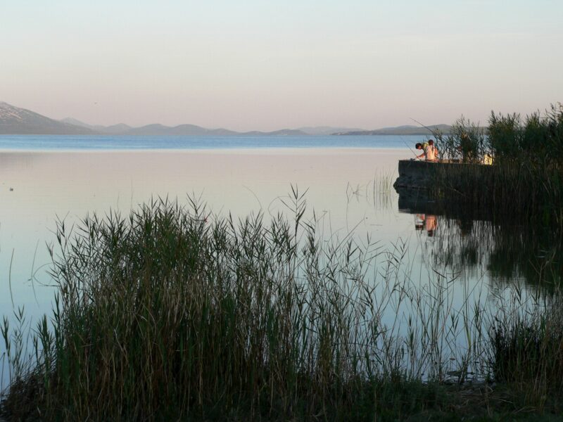
 Photo: Dnik · CC BY-SA 3.0
Croatia · Dalmatia
Vransko jezero (Dalmatia)
Karst · natural
31.12 square kilometresarea
0.82 metres above sea levelelevation
4.4 metresmax. depth
Trail
Croatia · Dalmatia
A circular walk from Viewpoint Kamenjak, above Vransko jezero, down through the Mernjača canyon to the Bašinka dock on the lake shore and back up through Orlja Draga. Boards along the way introduce the Mediterranean plants of the karst slopes.
From the viewpoint the whole lake can be seen, with the sea and the islands beyond it.
Map unavailable. The list keeps working.
Destination
Photo: Dnik · CC BY-SA 3.0Croatia · Dalmatia
Karst · natural
Safety Forest and goat paths over rock, with no shade in places: wear sturdy shoes and bring sun protection and water. Not suitable for wheelchairs.
Starts at Viewpoint Kamenjak, the park's information centre on the hill above the lake, reached by an asphalt road from Radošinovci. The park's basic ticket covers its educational trails.
Tell us if something has changed or is missing. We read every message.
Thank you. We read every suggestion.