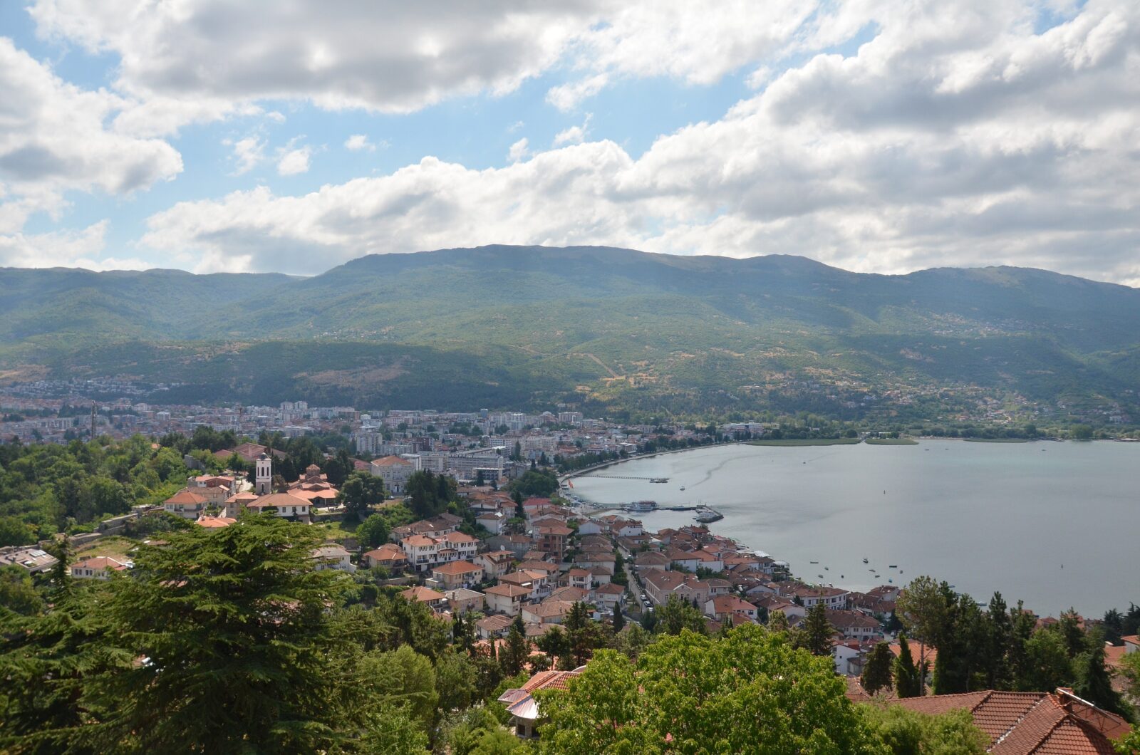


Beach
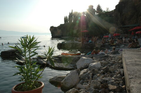
Kaneo Beach
A small pebble beach in Kaneo, the old fishing quarter of Ohrid, below the cliff with the Church of St John at Kaneo. In summer it is one of the favourite places in town for a swim, with clear water…
On shore
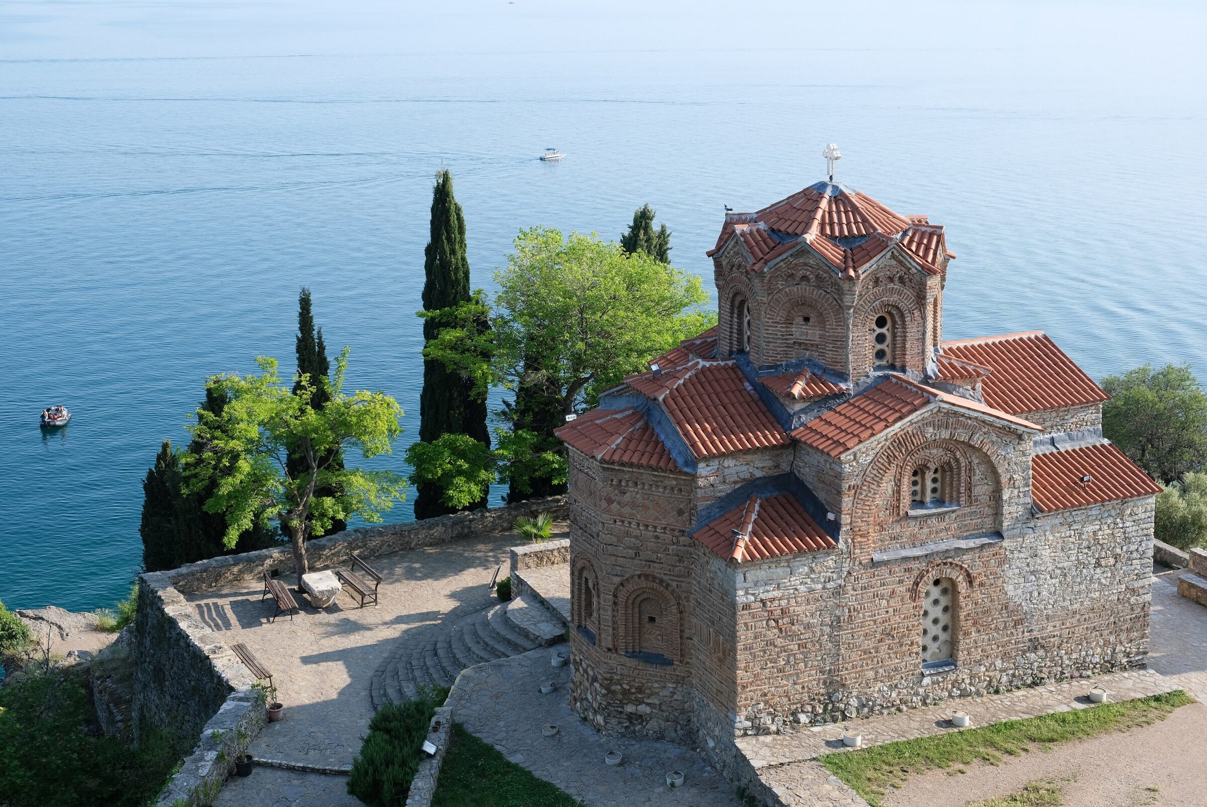
Photo: kallerna · CC BY-SA 4.0
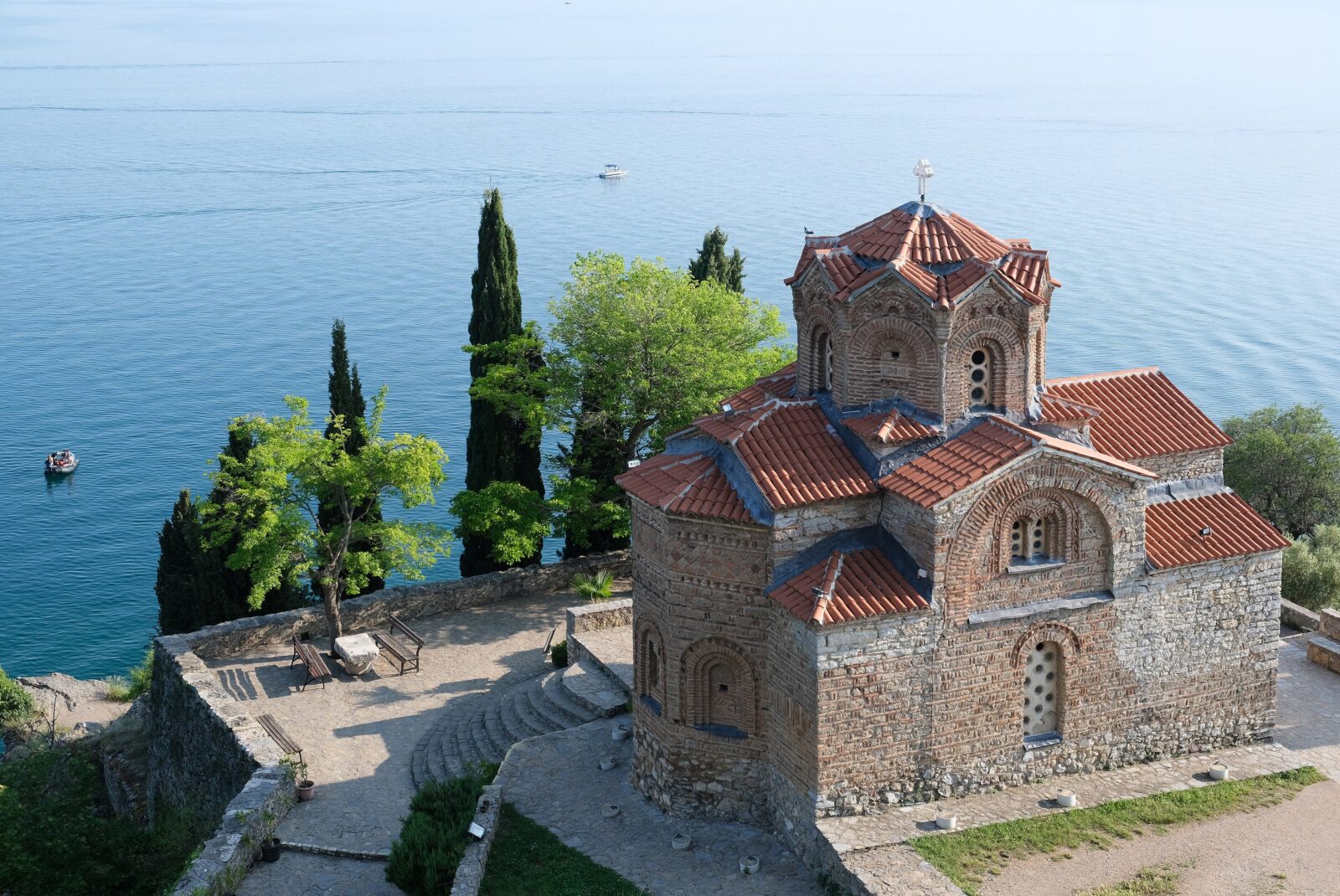 Photo: kallerna · CC BY-SA 4.0
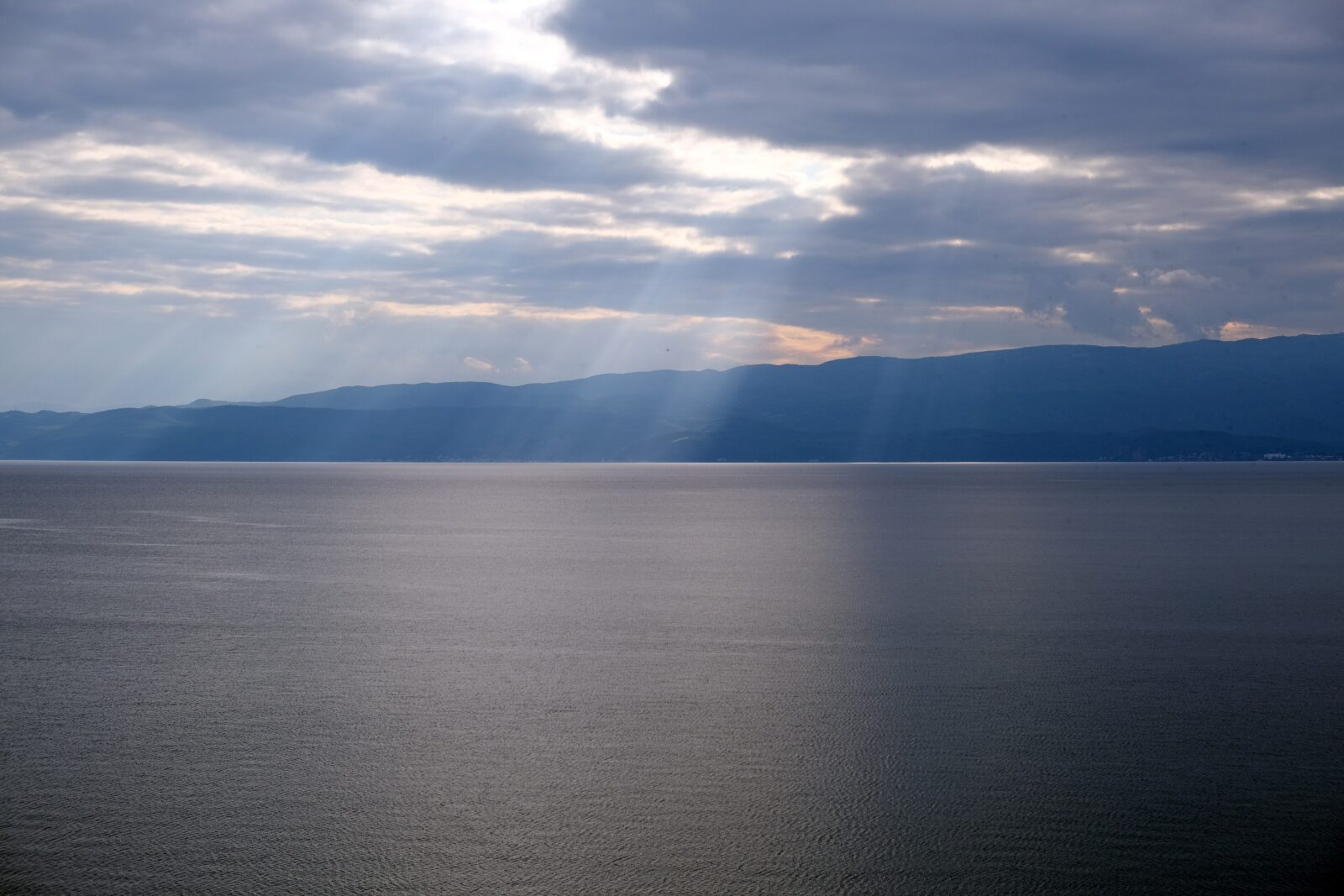 Photo: kallerna · CC BY-SA 4.0
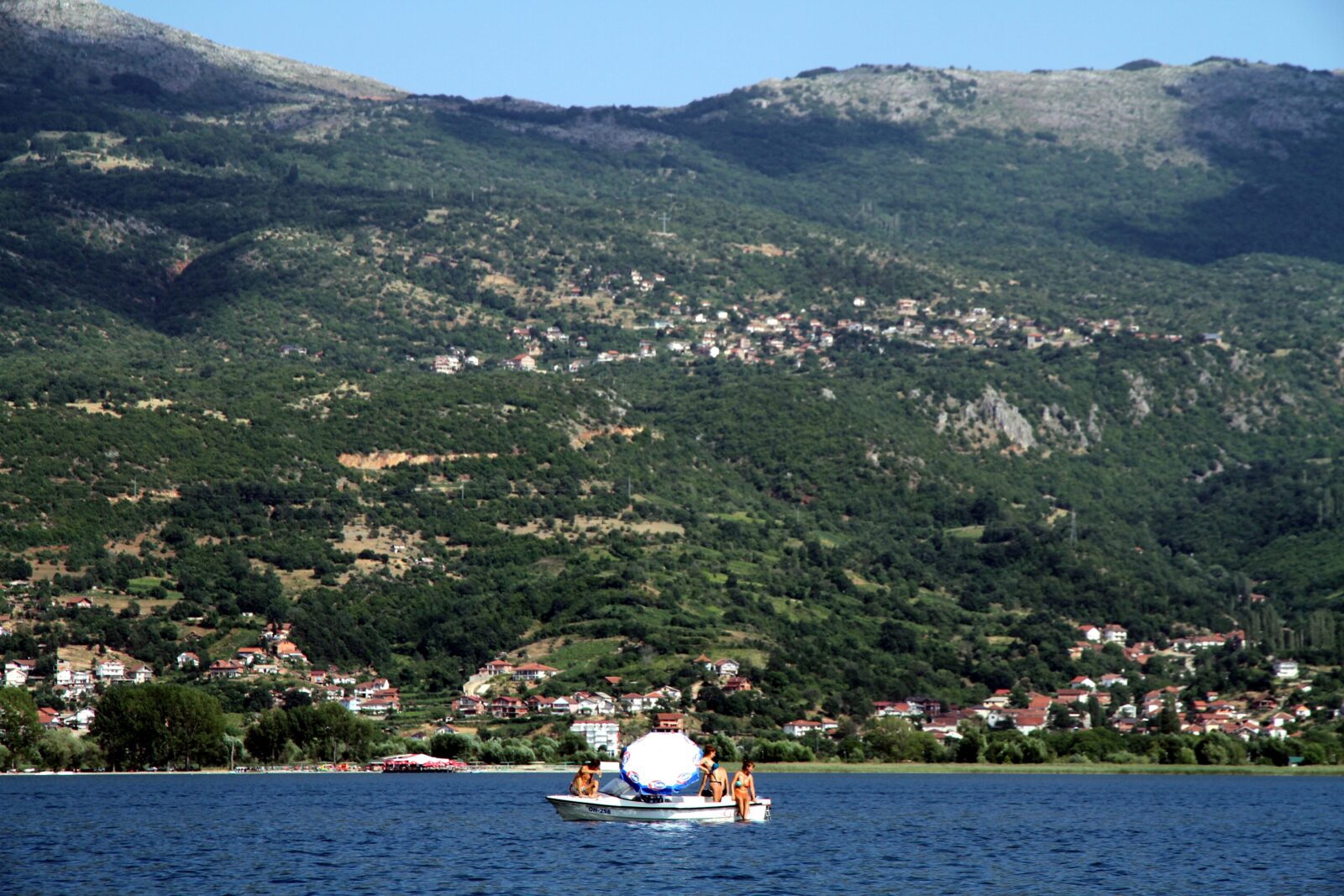 Photo: Andreas Lehner · CC BY 2.0
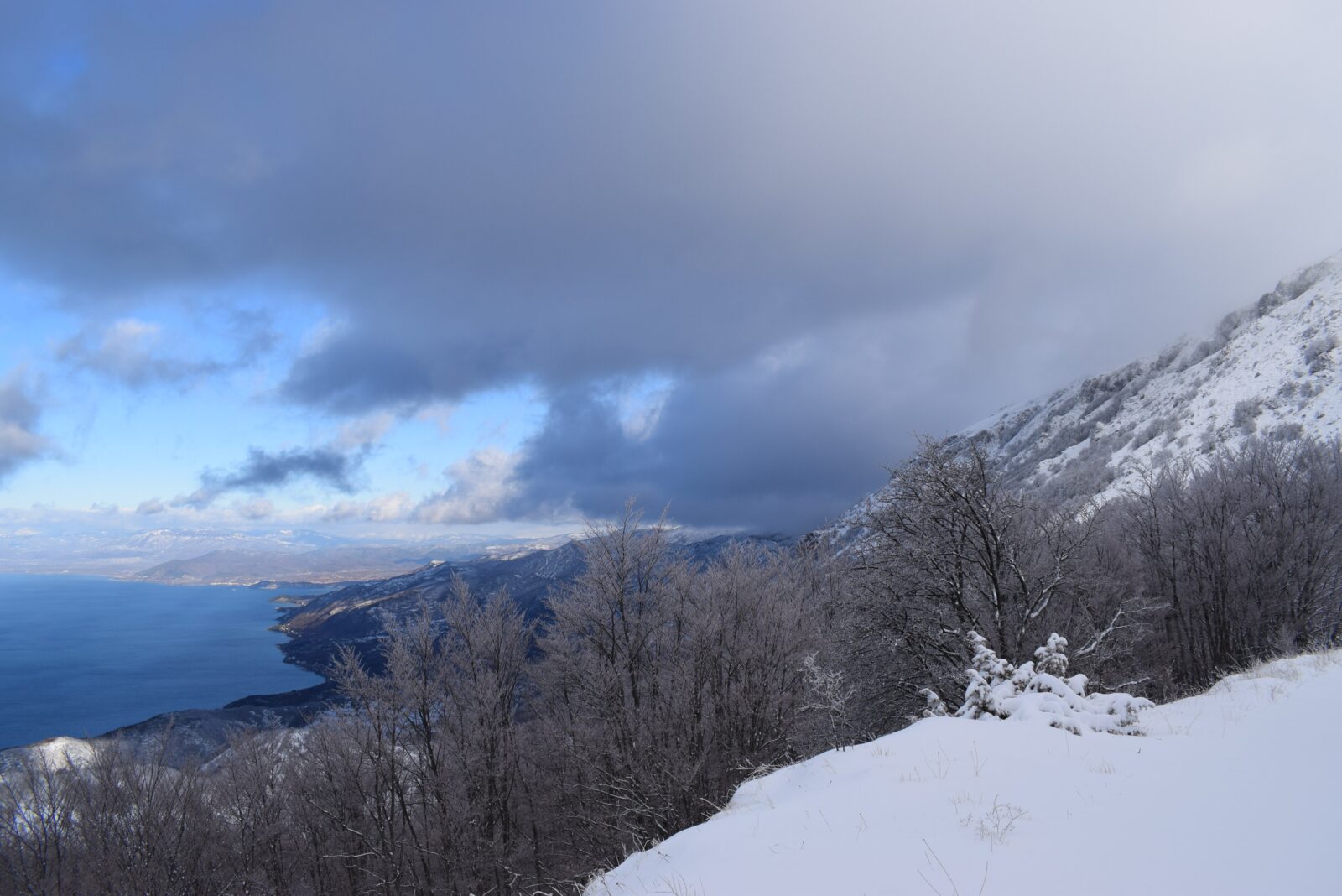 Photo: Liridon · CC BY-SA 4.0
Allowed
Restricted
Allowed
Map unavailable. The list keeps working.
Beach
A small pebble beach in Kaneo, the old fishing quarter of Ohrid, below the cliff with the Church of St John at Kaneo. In summer it is one of the favourite places in town for a swim, with clear water…
Viewpoint
Missing a beach, viewpoint or trail?
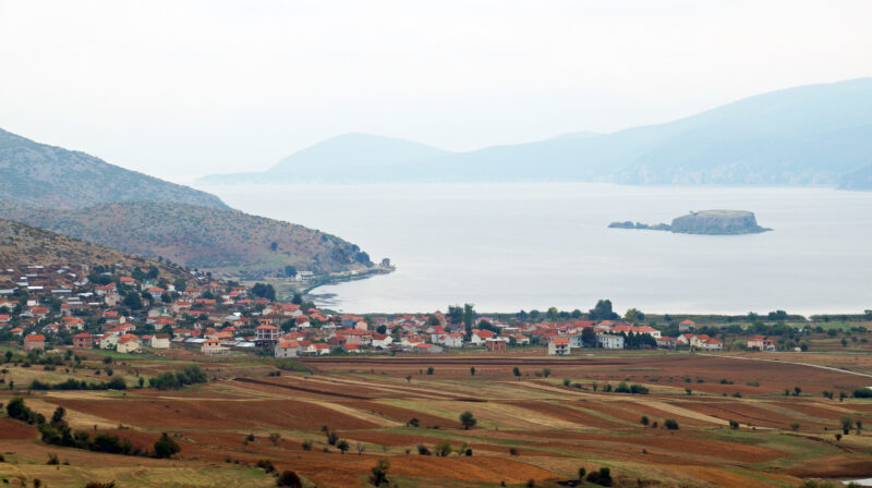 Photo: Albinfo · CC BY-SA 3.0
Albania · Greece · North Macedonia
Tectonic · natural
Suggest a beach, viewpoint, trail or amenity, or tell us if something has changed. We read every message.
Thank you. We read every suggestion.